File:GSoC 2019 Report Map Range.png
Size of this preview: 705 × 599 pixels. Other resolutions: 282 × 240 pixels | 846 × 719 pixels.
Original file (846 × 719 pixels, file size: 151 KB, MIME type: image/png)
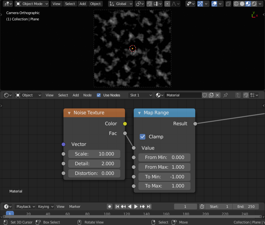
GSoC 2019 Report Map Range
File history
Click on a date/time to view the file as it appeared at that time.
| Date/Time | Thumbnail | Dimensions | User | Comment | |
|---|---|---|---|---|---|
| current | 19:44, 29 August 2019 | | 846 × 719 (151 KB) | OmarSquircleArt (talk | contribs) | GSoC 2019 Report Map Range |
- You cannot overwrite this file.
File usage
The following page links to this file: